
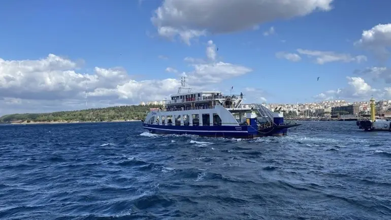
ÇANAKKALE, Turkey — Severe atmospheric disturbances and escalating storm conditions in the northern Aegean Sea have brought sea transportation across key island routes off the western coast of Turkey to a complete standstill. GESTAŞ, the regional maritime transport company responsible for passenger and vehicular ferry operations along the Çanakkale Strait and neighboring island lines, officially announced the full cancellation of all scheduled ferry sailings connecting the Turkish mainland to the islands of Gökçeada and Bozcaada for the following day.
The preemptive decision comes as gale-force winds and heavy sea swells swept through the northern stretches of the Aegean marine corridor, creating hazardous conditions for maritime navigation and making vessel berthing at island ports unsafe. According to initial reports filed by news agency correspondent Nazif Cemhan Şen from Çanakkale, the operational halt affects both primary crossing routes managed by the transportation authority: the Kabatepe–Gökçeada line and the Geyikli–Bozcaada line.
With adverse weather conditions predicted to intensify across the coastal waters of Northwestern Turkey, transport officials moved to suspend services entirely to safeguard passengers, crews, and maritime infrastructure from the severe weather front moving across the Aegean basin.
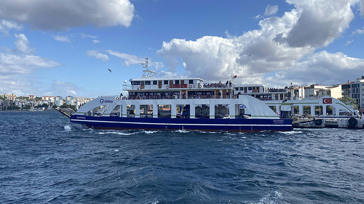
Severe Storm Warnings Prompt Total Cancellation of Northern Aegean Island Sailings
The operational disruption was formally confirmed by GESTAŞ Deniz Ulaşım, the primary maritime authority operating under the regional administrative framework of Çanakkale. In an official bulletin published to inform the public and logistics operators, the company revealed that all scheduled ferry sailings set to run between the mainland and the two inhabited Aegean islands had been stricken from the timetable due to worsening weather metrics in the northern sector of the Aegean Sea.
The cancellation policy applies comprehensively across both affected transport corridors. Passengers traveling between the port of Kabatepe, located on the Gallipoli Peninsula, and the island of Gökçeada will find all scheduled departures suspended. Simultaneously, the ferry link operating between the coastal port of Geyikli in the Ezine district of Çanakkale and the island port of Bozcaada has been completely halted for the duration of the storm warning.
GESTAŞ officials emphasized that the decision was dictated by maritime safety protocols that govern public vessel transit during acute weather anomalies. When wind velocities and wave crests exceed standard operational thresholds, ferry captains and port operators are legally and procedurally bound to dock vessels and cease crossings until marine forecasts indicate a return to safe sea conditions.
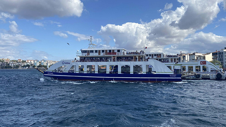
The preemptive nature of the announcement—issued a day in advance of the planned departures—was intended to give residents, freight drivers, and visiting travelers sufficient advance notice to adjust their itineraries, secure necessary supplies, and avoid becoming stranded at mainland staging terminals or island harbors.
The Maritime Lifeline: Dependence of Gökçeada and Bozcaada on Ferry Connections
The suspension of ferry crossings across the northern Aegean Sea highlights the acute geographic vulnerability of Turkey’s two prominent inhabited islands in the region. Gökçeada, recognized as the nation’s largest island by land area, and Bozcaada, famous for its cultural heritage and coastal viticulture, depend almost entirely on maritime transport links for their day-to-day survival and connection to the mainland economy.
Unlike mainland municipalities connected by extensive highway networks, Gökçeada and Bozcaada rely on GESTAŞ ferries as their sole physical conduits for civilian transportation, commercial trade, emergency medical transfers, and essential commodities. The Kabatepe–Gökçeada route spans approximately 14 nautical miles across open waters that are particularly exposed to prevailing northerly and northwesterly winds. Similarly, the Geyikli–Bozcaada line, while covering a shorter distance across the Bozcaada Channel, must navigate narrow maritime corridors where wind funnels and localized currents can create treacherous chop and strong side-surges.

Under normal operating conditions, these ferry lines handle a heavy volume of passenger cars, heavy cargo trucks, commercial delivery vans, and foot passengers throughout the day. Freight vehicles carry fresh food supplies, medical stock, construction materials, fuel tankers, and consumer goods onto the islands, while returning trips transport local agricultural products, seafood, and commercial exports back to mainland markets.
When storm activity forces a complete operational shutdown, the functional rhythms of both island communities are immediately impacted. Municipal authorities and local business owners must adjust to temporary delays in cargo deliveries, while commuters who cross the channels for work, education, or specialized healthcare services in Çanakkale are obliged to remain in place until weather clearances are formally granted by harbor master offices and maritime dispatchers.
Meteorological Realities of the Northern Aegean and Çanakkale Waters
The northern Aegean Sea is historically recognized by mariners for its complex microclimates, steep atmospheric pressure gradients, and sudden seasonal weather shifts. As autumn progresses into the late months of the year, cold air masses originating over Southern Europe and the Balkan peninsula frequently collide with warmer air layers over the Mediterranean basin. This atmospheric friction generates powerful gale-force winds—predominantly strong northerlies known locally as poyraz, or intense southerlies known as lodos.

The geographic positioning of Çanakkale and its surrounding coastal waters serves to amplify these meteorological pressures. The Çanakkale Strait acts as a natural wind tunnel, squeezing moving air masses between the high ridges of the Gallipoli Peninsula and the rolling hills of Northwestern Anatolia. As these winds exit the mouth of the Dardanelles into the open expanse of the northern Aegean Sea, they build long sea fetches, generating high, short-period waves that pose severe risks to flat-bottomed or roll-on/roll-off (Ro-Ro) vehicular ferries.
Ro-Ro vessels, which form the core of the GESTAŞ fleet on the island routes, feature large internal car decks and wide bow or stern ramps designed for efficient loading and unloading. While highly effective for vehicle transit in sheltered or moderate sea states, these structural characteristics present high windage profiles when exposed to powerful crosswinds. In high seas, large lateral wind forces can compromise a ferry’s directional stability, complicate maneuvering near narrow harbor entrances, and create dangerous roll angles during transit.
Furthermore, berthing at the island ports—such as Kuzu Harbor on Gökçeada or the exposed harbor walls of Bozcaada—requires delicate maneuverability. High wind pressure pushing a ship against pier concrete or pulling it away from mooring lines can cause severe damage to hull structures, dock ramp mechanisms, and harbor infrastructure, while risking the safety of crew members managing heavy mooring lines on wet, unstable decks.

Safety Protocols, Port Operations, and Traveler Impact
The suspension of maritime transport services during severe weather events follows a strictly regulated decision-making tree involving multiple maritime and government bodies. Operational safety in Turkish coastal waters is overseen by regional Harbor Master Offices (Liman Başkanlıkları) working in direct coordination with the Turkish State Meteorological Service (Meteoroloji Genel Müdürlüğü) and local ferry operators like GESTAŞ.
Meteorologists continuously monitor marine weather stations, satellite imagery, and sea buoy sensors stationed throughout the Aegean basin. When predictive atmospheric models indicate that sustained wind speeds will cross critical thresholds or that wave heights will exceed safe operating limits, safety alerts are transmitted directly to maritime dispatch centers. Upon reviewing these warnings, GESTAŞ marine operations managers consult with vessel captains to determine whether scheduled trips can be safely conducted.
If conditions are deemed hazardous, an official operational suspension is declared, prompting immediate updates across official communication channels, digital ticketing platforms, and regional media outlets.
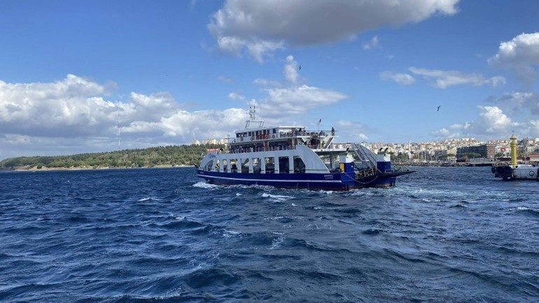
For travelers and transport operators in the Çanakkale region, these weather-induced cancellations require immediate tactical adjustments. Long-distance truck drivers hauling perishable goods or livestock to the islands are advised to hold at mainland freight depots or delay departure to coastal ports to avoid congestion at terminal staging areas. Similarly, local bus services connecting regional transport hubs like Çanakkale city center and Ezine to the ferry docks at Kabatepe and Geyikli adjust their scheduling to reflect the temporary stoppage of sea crossings.
Island residents who maintain routines built around daily ferry timetables must monitor real-time updates closely. While brief weather disruptions lasting a single day are generally manageable due to local reserve stocks of fuel, basic groceries, and essential utilities on both Gökçeada and Bozcaada, extended storm systems require careful resource management by local municipal councils. Emergency medical contingencies on the islands rely on specialized air ambulance helicopters operated by the Ministry of Health or heavy-weather naval craft if sea evacuation becomes unavoidable during a medical emergency while civilian ferries remain docked.
As the weather front continues its path across the northern Aegean Sea, maritime authorities will continue to assess atmospheric readings and sea conditions hour by hour. GESTAŞ has advised all prospective passengers and logistics companies to check official company announcements and digital status updates before setting out toward coastal terminals, noting that ferry operations will resume immediately once wind velocities drop to safe navigable levels and sea conditions stabilize across the northern Aegean transit corridors.